Trusted by 10,000+ farmers around the world



An all-in-one digital farming tool that helps farmers and advisors manage crops more efficiently.
Badger uses satellite and drone imagery to automatically collect, clean, and analyze crop data, delivering clear, color-coded health maps through a user-friendly farmer dashboard. Our technology helps farmers make data-driven decisions to increase yield and reduce waste.
Register Today.png)
An all-in-one digital farming tool that helps farmers and advisors manage crops more efficiently.
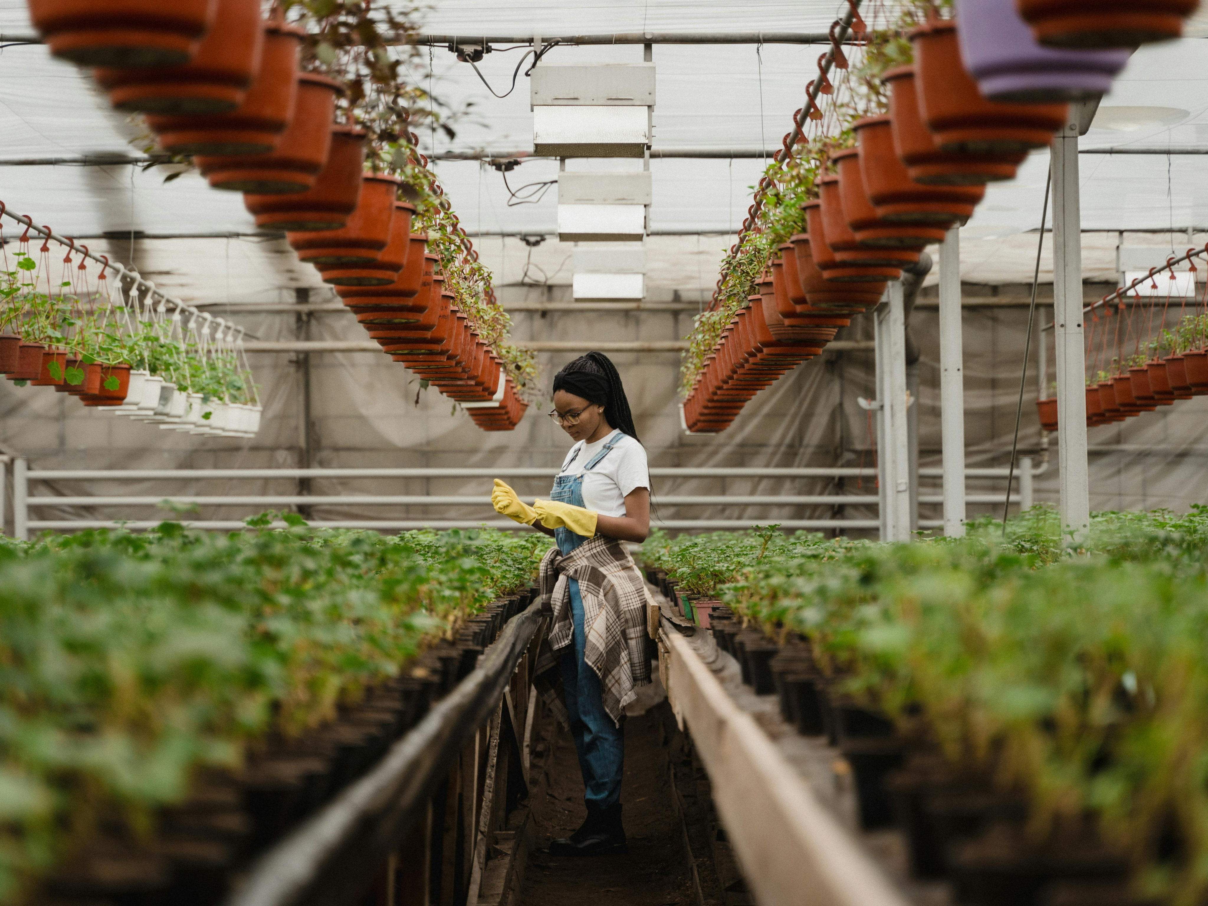
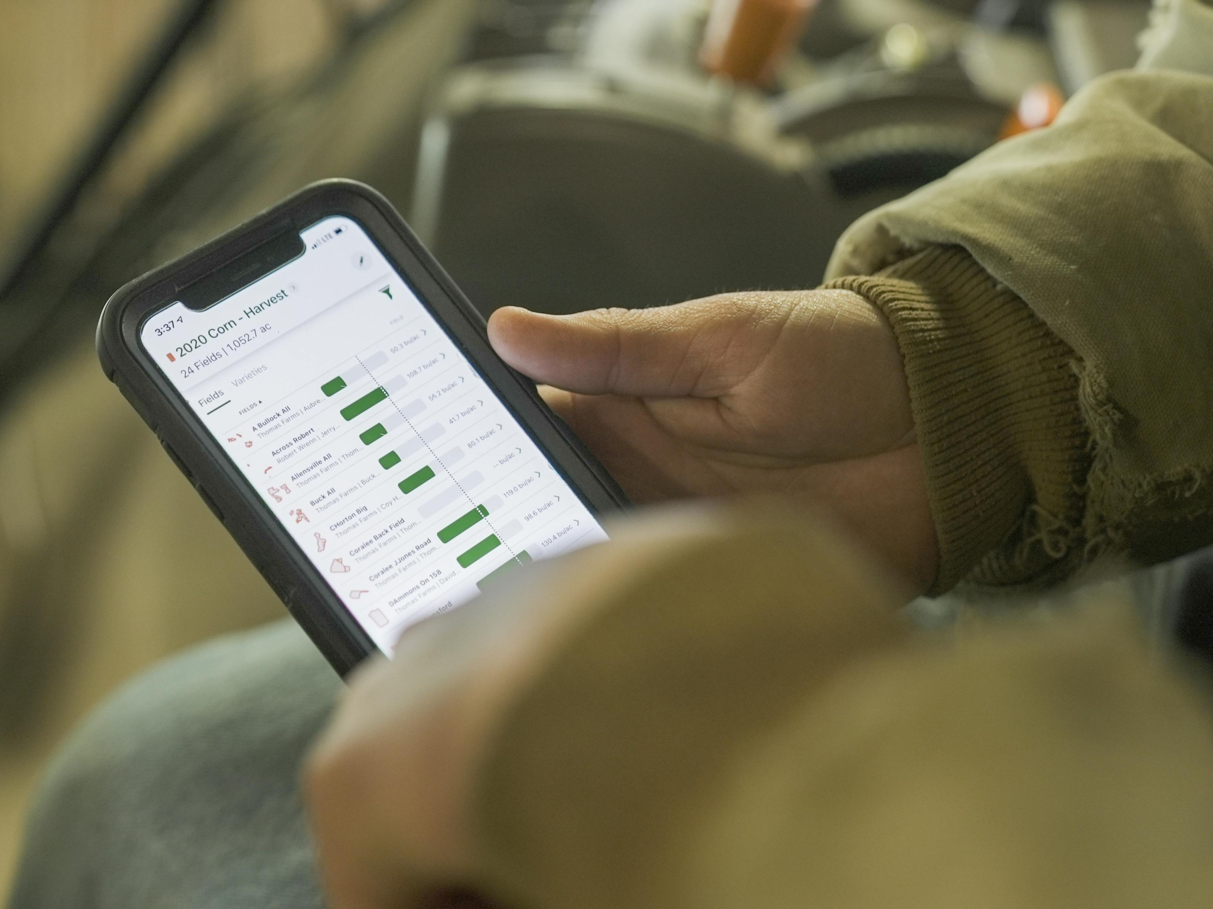
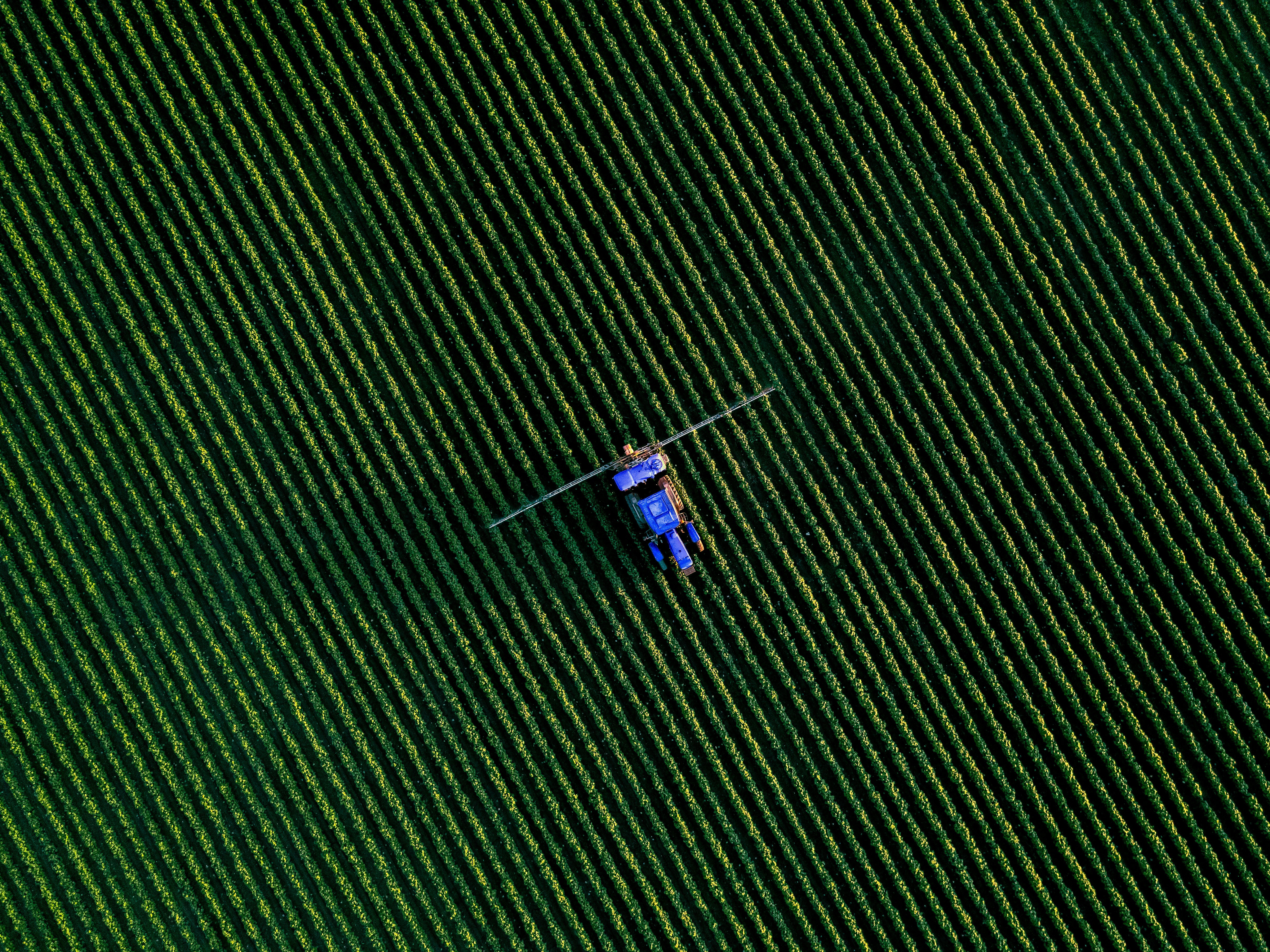
Badger Analytics has participated its precision agri-tech platform focusing on satellite/drone imagery, AI analytics, and real-time data, to a number of startup challenges and accelerator programs.

Premier Agric was one of the seven winners of the Irish Tech Challenge South Africa 2025. The company is committed to sustainable agriculture through tech.

This accelerator programme is part of the Estonian Centre for International Development (ESTDEV)’s work under the Digital and Green Innovation Action.
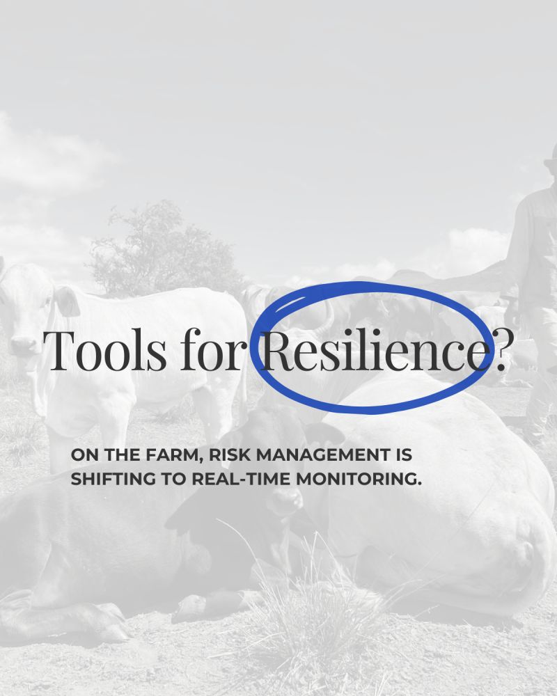
Badger Analytics partners with local farming co-ops to bring precision data to smallholder farmers. Read about our latest fieldwork in KZN.
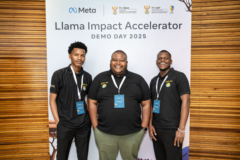
Incredible experience at the Llama Impact Accelerator Demo Day SA! We showcased Badger Analytics and connected with the brightest minds in tech. The journey continues!
Premier Agric was one of the seven winners of the Irish Tech Challenge South Africa 2025. The company is committed to sustainable agriculture through tech.
This accelerator programme is part of the Estonian Centre for International Development (ESTDEV)’s work under the Digital and Green Innovation Action.
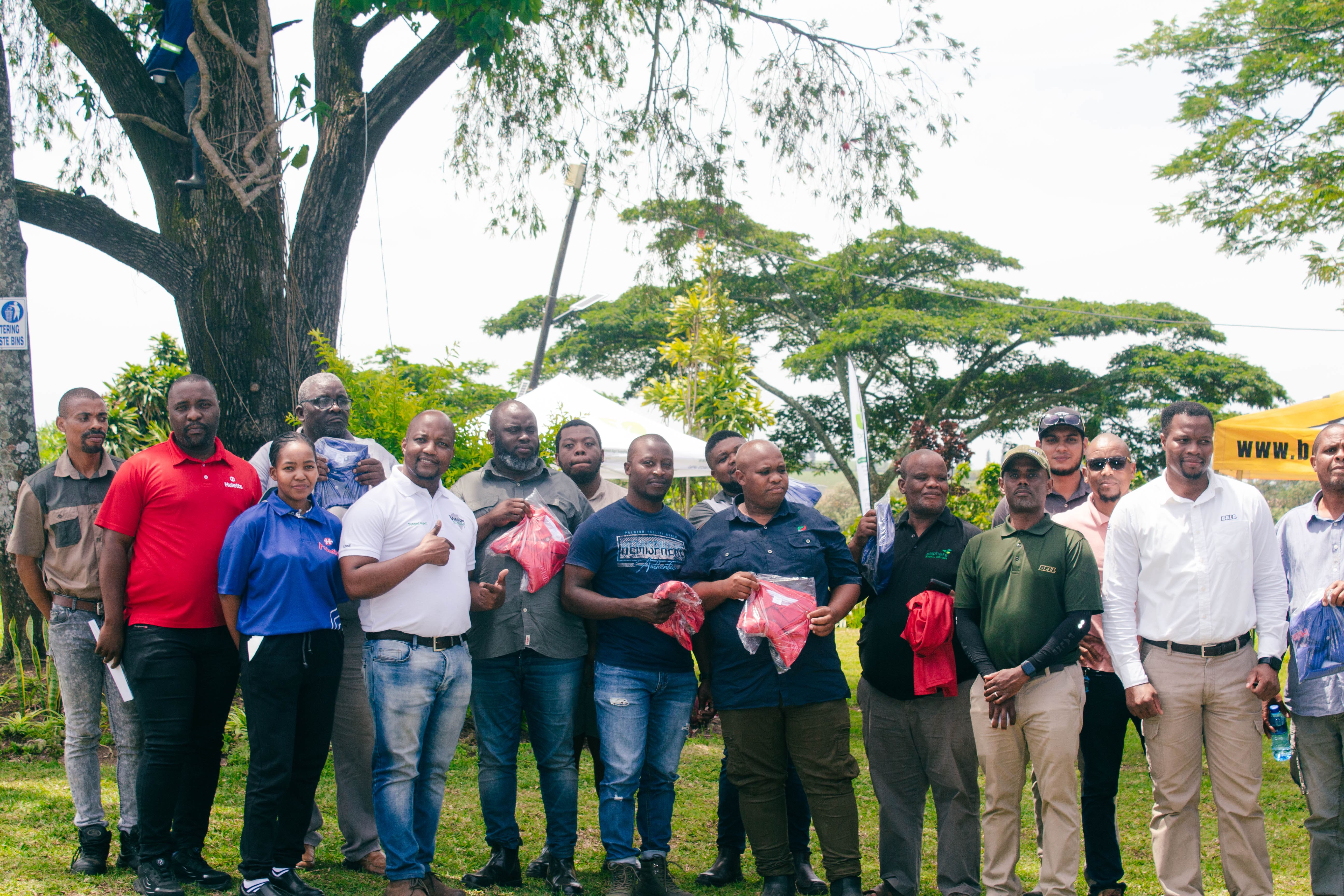
Badger Analytics partners with local farming co-ops to bring precision data to smallholder farmers. Read about our latest fieldwork in KZN.
Latest Newsletter: How AI Forecasting is changing the game for maize production in 2026. Insights from our data science team.

Copyright © 2025 Badger Analytics. A specialized division of Premier Agric. All rights reserved.